Geology is not a simple science
``... By applying innovative technology
We are imagining without seeing...
Geology is not a simple science
``... By applying innovative technology
We are imagining without seeing...
Geodesy is the study of the shapes and sizes of the whole or individual parts of the earth, to obtain maps and plans of the physical surface of the earth, as well as to provide solutions to various engineering problems and methods of making measurements on the ground.
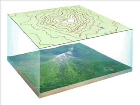 Topography
Topographic works - 3D mapping ; Engineering geodesy - for the purpose of development of natural resources and design of amelioration works; Space geodesy - determination and mapping of coordinates based on satellite data.
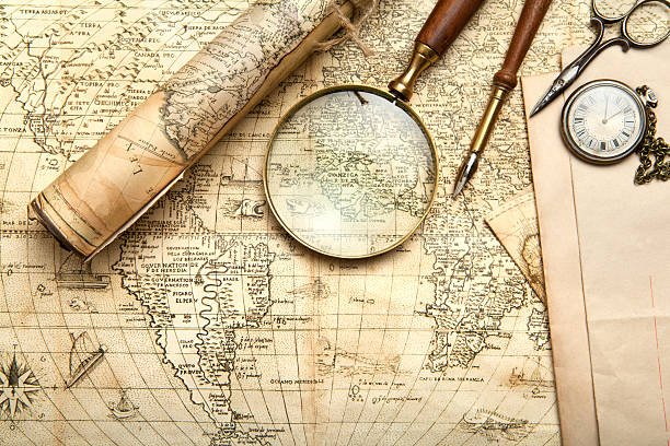 Cartography
Cartography - Spatial modeling of objects and constructions and compilation of maps; Carrying out field planning and mapping works; Creating a GIS Database.